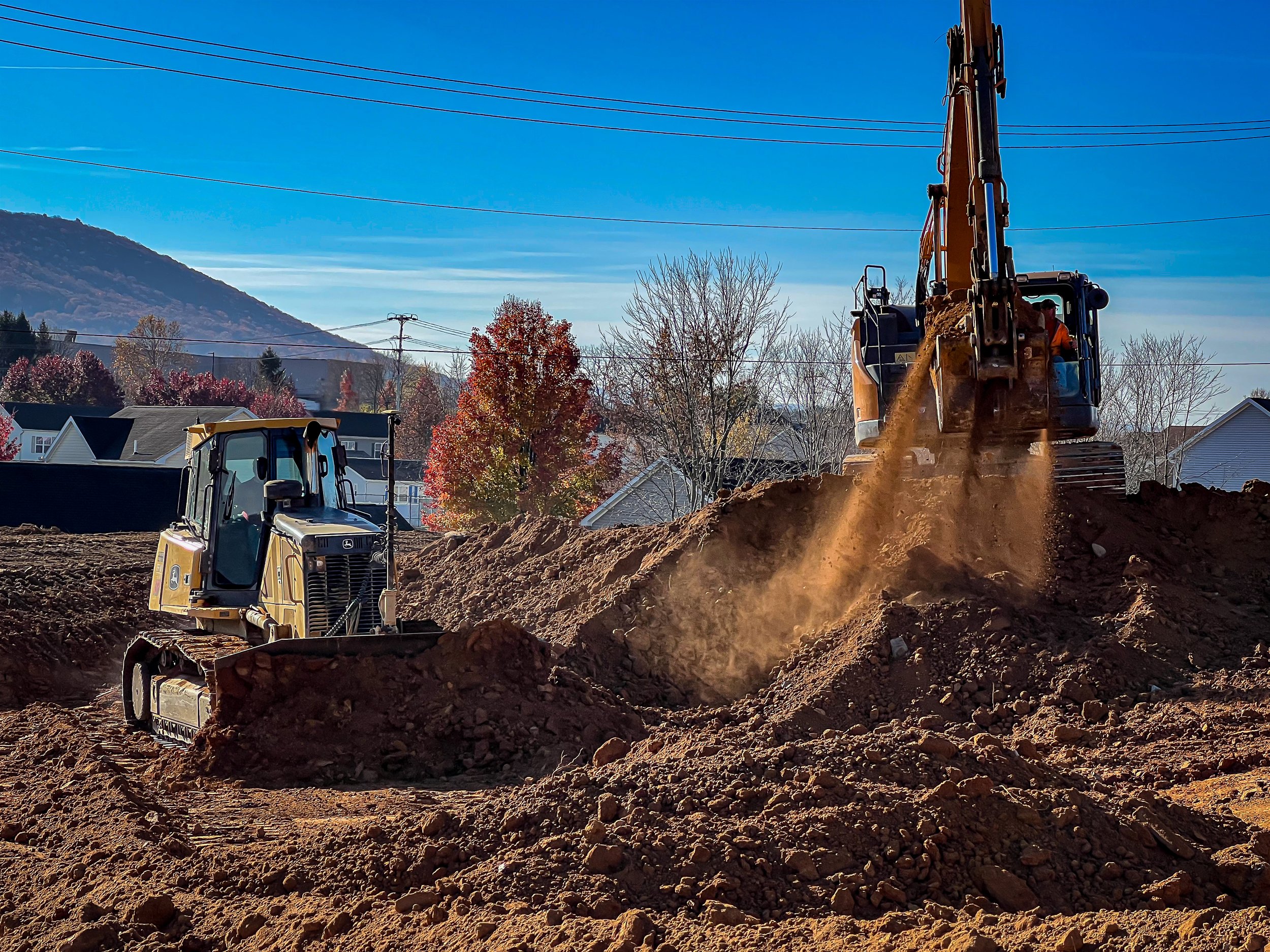
Heavy Civil Services
Our heavy civil specific service offerings take advantage of the latest drone based solutions to support your heavy civil project.
-
Provide data and CAD support for as-builts. Collecting LiDAR data, generating orthomosaics, and creating visuals.
-
An Orthomosaic of the project uploaded as a background to a CAD file for the purpose of documentation, QC/QA, and coordination.
-
Full service digital twin generation, integration, and coordination for any project.
-
Aerial documentation of any project on a regular basis uploaded directly to Procore or choice of software.
-
Deploying all the tools available in the drone space to provide a competitive advantage in the bidding of any project.
Cut-Fill Volumes
Track and measure cut-fill volumes faster and more reliably at a fraction of the cost of using traditional means.
-
Fly the site prior to starting work in order to verify your bid and existing conditions.
-
Fly your site throughout the project to obtain measurable progress updates that can be submitted for payment.
-
By flying your site on a regular basis, this not only provides your organization documented site conditions but also allows project managers and engineers to spot mistakes or make better informed change orders.
As-Builts
Get those as-builts done and out the door faster.
-
Drastically cut down on surveyor hours by collecting 90% of the as-built data using Aerial Prospex.
-
Aerial Prospex offers full back office support on all as-built services.
-
We use LiDAR tied to site control and back checked to our own control to achieve 0.1’ accuracy.
3D Modeling
Create a digital twin of your project for design work, coordination, or simply documentation.
-
We will help your BIM team import and utilize the 3D model generated.
-
Locating clashes or design conflicts can reduce rework and expedite the coordination process.
-
Having a digital twin of your project to reference back to is a tool with unlimited potential uses.


